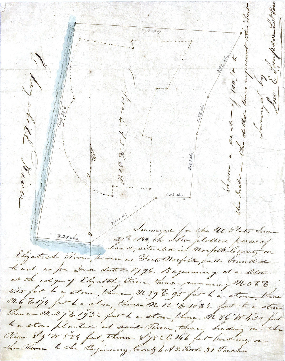
John E Simpson Survey 20 June 1840
Surveyed for the U. States June 20, 1840, the above plotted parcel of land, situated in Norfolk County on Elizabeth River, known as Fort Norfolk, and bounded to wit: as per deed dated 1794. Beginning at a stone at the edge of Elizabeth River, thence running N 56° E 215 feet to a stone, thence N 89° E 95 feet to a stone, thence N 6° E 174 feet to a stone, thence N 15° E 103 1/2 feet to a stone planted at said river, thence finding on the river S 9° W 584 feet, thence S 78 1/2 E 146 feet - finding on the river to the Beginning: Contg 4 S. 2 roods 31 parcels.
From a scale of 100 feet to the inch - the dotted line represents the fort.
Surveyed by
John E Simpson S N Boro.
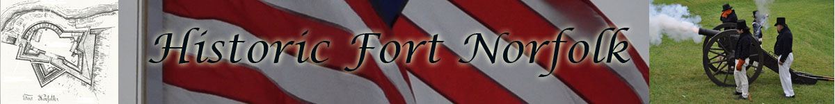
Fort Norfolk Documents
1790, 1791, 1792, 1793, 1794, 1795, 1796, 1797, 1798, 1799,
1800, 1801, 1802, 1803, 1804, 1805, 1806, 1807, 1808, 1809,
1810, 1811, 1812, 1813, 1814, 1815, 1816, 1817, 1818, 1819
1820,
1840, 1841, 1842, 1843, 1844, 1845, 1846, 1847, 1848, 1849,
1850, 1851, 1852, 1853, 1854, 1855, 1856, 1857, 1858, 1859
1860, 1861, 1862, 1863, 1864, 1865, 1866, 1867, 1868, 1869
1870, 1871, 1872, 1873, 1874, 1875, 1876, 1877, 1878, 1879
1880,
Source of Information
National Archives, Record Group 77 (Office, Chief of Engineers)
Land Papers
Virginia (Craney Island, Mill Creek Bridge, Ferry Point, Ft. Norfolk, Yorktown Monument, Arlingtron Estate, Willoughby Spit);
Washington (General)
Box No. 61, NM-19, Entry 171